Map 1 Palestine towards the end of Ottoman rule 1884-1919
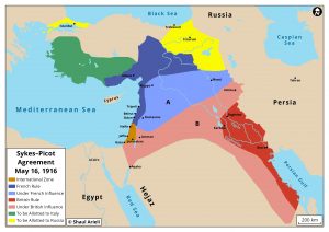
Map 2 Sykes-Picot Agreement 1916
Map 3 Borders of Palestine under British Mandate 1922-1948
Map 4 Arab and Jewish settlements in Palestine 1922
Map 5 Peel Comission Partition Plan 1937
Map 6 UN Partition Plan November 29 1947
Map 7 Armistice Agreements February-July 1949
Map 8 Arab villages annexed to Israel under Israeli-Jordanian armistice agreement April 1949
Map 9 Land swaps between Israel and Egypt in Gaza 1950
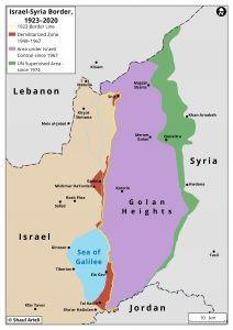
Map 10 Israeli-Syrian border from 1923 until 2020
Map 11 Territories Occupied by Israel during the 1967 war
Map 12 Allon Plan 1967
Map 13 The Intrim Agreement 1995-1999
Map 14 Camp David 2000 the Israeli Proposal
Map 15 Taba 2001 the Israeli Proposal
Map 16 Taba 2001 the Palestinian proposal
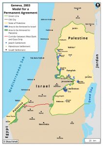
Map 17 Geneva Initiative 2003
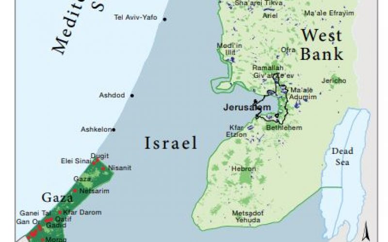
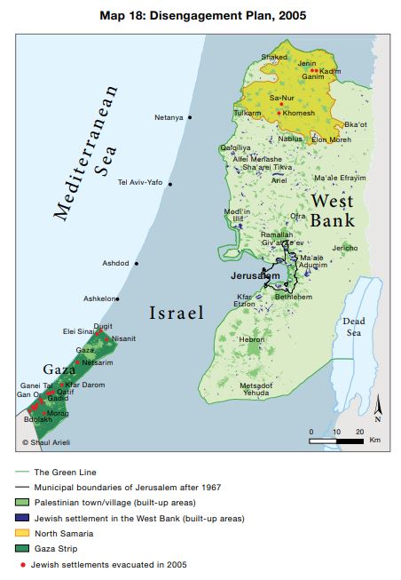
Map 18 Disengagement Plan 2005
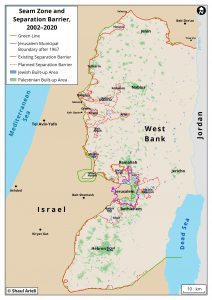
Map 19 Government resolution for separation Barrier April 2006
Map 20 Realignment Plan 2006 (not implemented)
Map 21 Annapolis 2008 the Israeli Proposal
Map 22 Annapolis 2008 the Palestinian Proposal
Map 23 Jerusalem the Israeli proposal Annapolis 2008
Map 24 Jerusalem the Palestinian proposal Annapolis 2008
Map 25 The historic basin of Jerusalem the Israeli and Palestinian proposals Annapolis 2008
Illustration 1 A border stone near Kibbutz Metzer
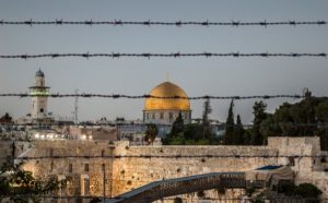
Illustration 2 The Old City of Jerusalem
Illustration 3 Beitar Illit (urban settlement near Jerusalem)
Illustration 4 Neve Daniel (Gush Etzion settlement)
Illustration 5 Harasha (unauthorized settlement)
Illustration 6 Beit Sahur (Palestinian town near Jerusalem)
Illustration 7 Rawabi (Palestinian newly-built town)
Illustration 8 Erez Crossing between Gaza Strip and Israel
Illustration 9 A road for Palestinian traffic in the West Bank
Illustration 10 The Separation Barrier near Qaffin
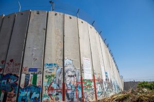
Illustration 11 The Separation Barrier in Al-Aida Refugee Camp
Illustration 12 Al-Aida Refugee Camp

